

Above and below ground monitoring in the Rangelands.
Supporting soil health
Funded by Meat & Livestock Australia and led by NSW Department of Primary Industries and rangeland producers, the Rangelands Living Skin project is an extensive series of collaborative ‘paddock lab’ trials, monitoring activities, workshops and field days aiming to increase producers knowledge and capacity to manage soil, pasture and productivity in NSW rangelands.
In this project, producers and researchers are trialling methods to improve the environmental health and livestock production of pastoral businesses. Project activities are occurring across four rangeland
properties covering 73,000 ha, and engaging producers that manage a further ~1M ha. These methods include grazing management, water ponding, ripping and planting, and soil amendment practices.
A primary objective of the project is to understand and quantify the impact of these management methods.
‘Ultimately, we are trying to manage our soil and water resources by preventing erosion, capturing rainfall, and growing our soil’s organic matter to ensure longevity of production’, says Karl Andersson, research officer at NSW DPI.
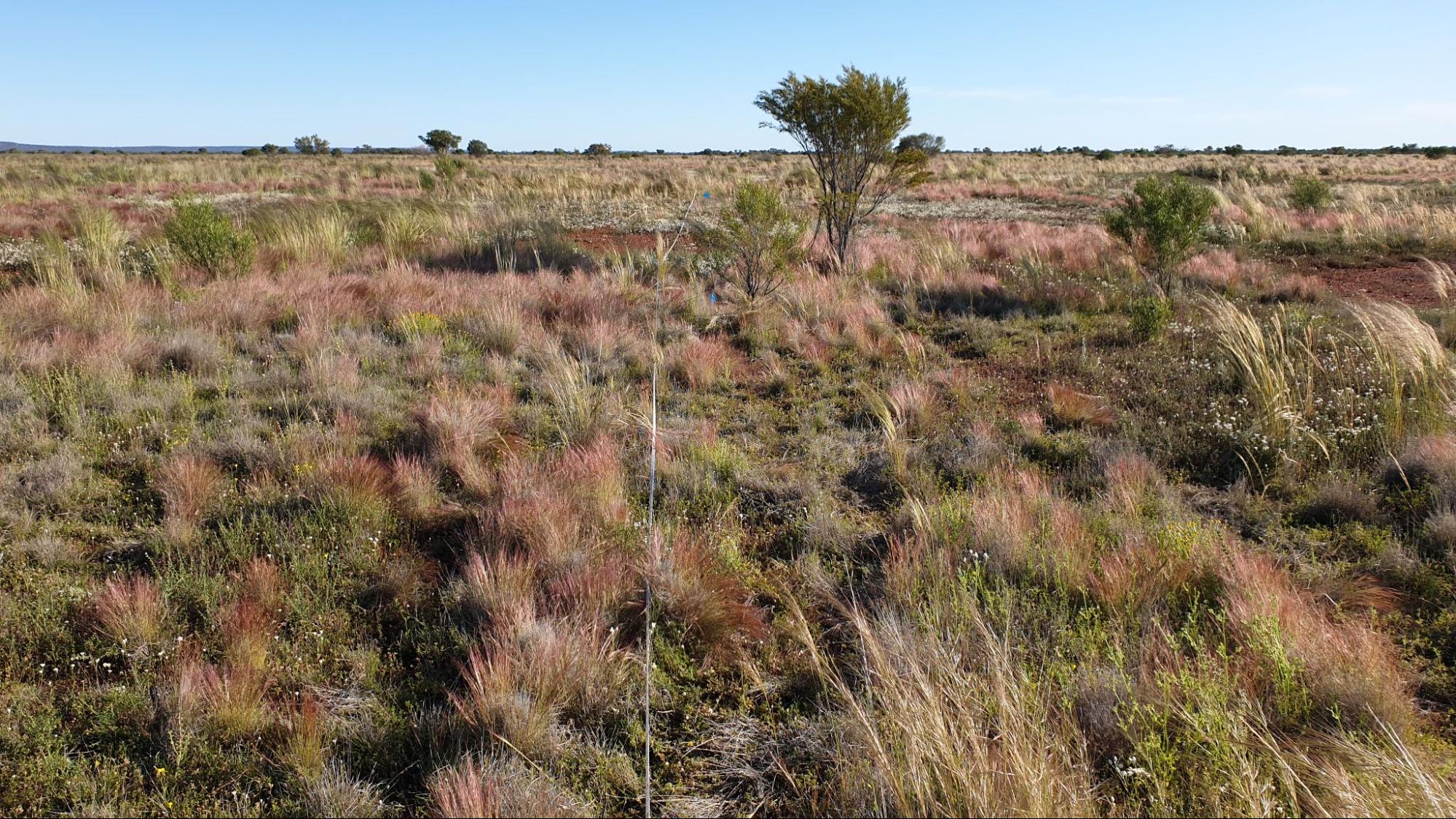
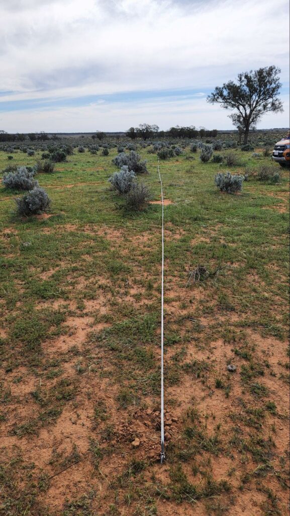
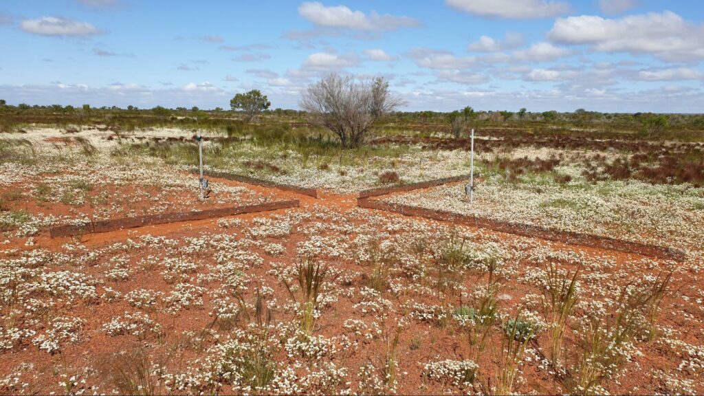
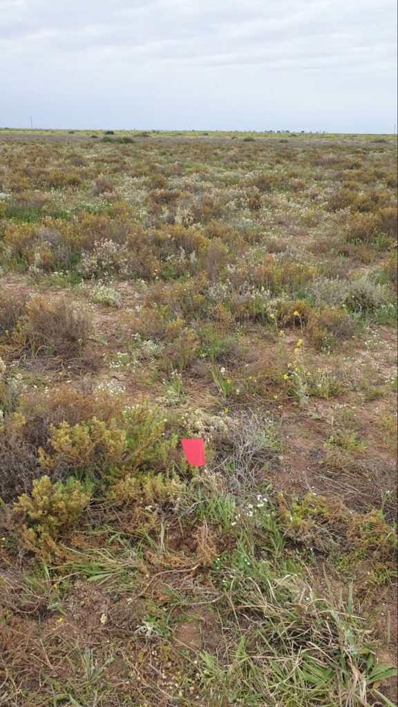
Landscape shot of an observation site, Wyndham Station
Above and below ground monitoring
The RLS team is working to understand the impact of these management methods across seven properties in western NSW the team by monitoring:
- the landscape above ground (led by NSW DPI and ANU), including biomass, groundcover, composition, landscape function, erodibility, water infiltration and microbiology; and
- the soil carbon and nitrogen below ground (led by CarbonLink).
Sarah McDonald, Rangeland Living Skin Project Lead, describes this monitoring as a way to better understand soil carbon as an indicator of landscape health in the rangelands, and the linkages between above and below ground landscape health.
Karl Andersson explains, ‘soil carbon is not only about sequestration, but also links to nutrient cycling, soil resilience, stability and productivity. Soil carbon is a good way to get a handle on how much organic matter there is below ground, and potential of the whole system’.
‘I don’t think of carbon sequestration as locking it up. I think about moving more carbon through the cycle. When you have more organic matter coming into the soil in the form of exudates or litter, for example, it provides nutrients and energy for the bugs. Carbon is what we measure, but organic matter is what we have. With more soil organic matter, you get a better supply and cycling of nutrients, more water and air infiltration, roots grow more easily. All of these are what drives the system for production.’
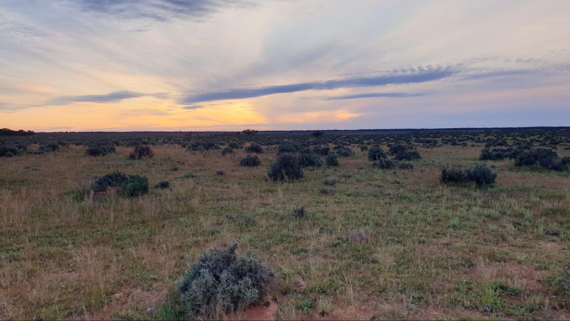
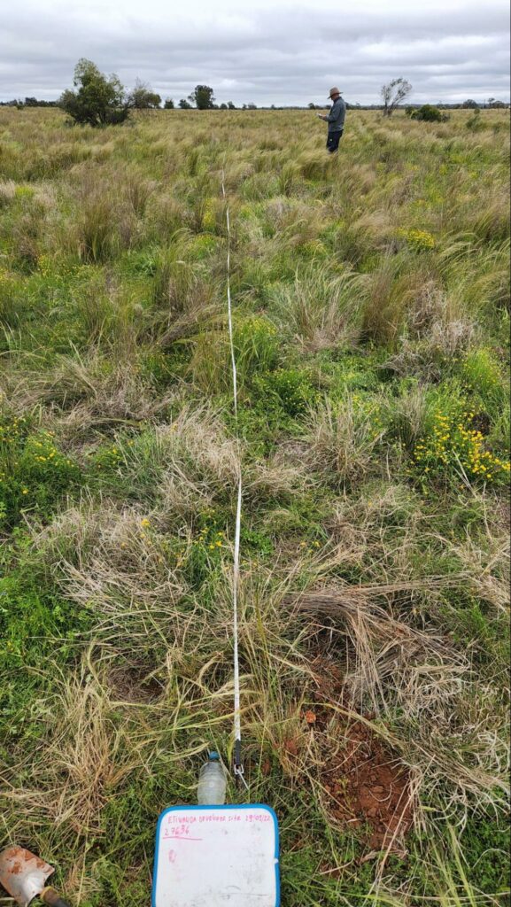
Observational site, Nullogoola
What influences soil organic carbon in the Rangelands?
Soil organic carbon concentrations depend on many factors in the landscape, as well as climate. The effects of things like temperature and rainfall are not necessarily linear, but in general higher rainfall drives more plant growth (and input of soil organic matter) while warmer temperatures increase microbial breakdown (output of carbon and cycling of nutrients). So, other things being equal, in wet, cool regions the soil organic matter (SOM) levels are relatively high, whereas in the hotter and drier conditions of the rangelands we are looking at lower levels.
According to Rob Crossley, Chief Scientist at CarbonLink:
‘There is a belief that we cannot build carbon in the rangelands because
the rain is too low, but we are seeking to gather evidence on whether we can build soil carbon in areas with 300 mm rain. Even during 2020 with the drought in Queensland, we were seeing some farms still building and sequestering carbon.’
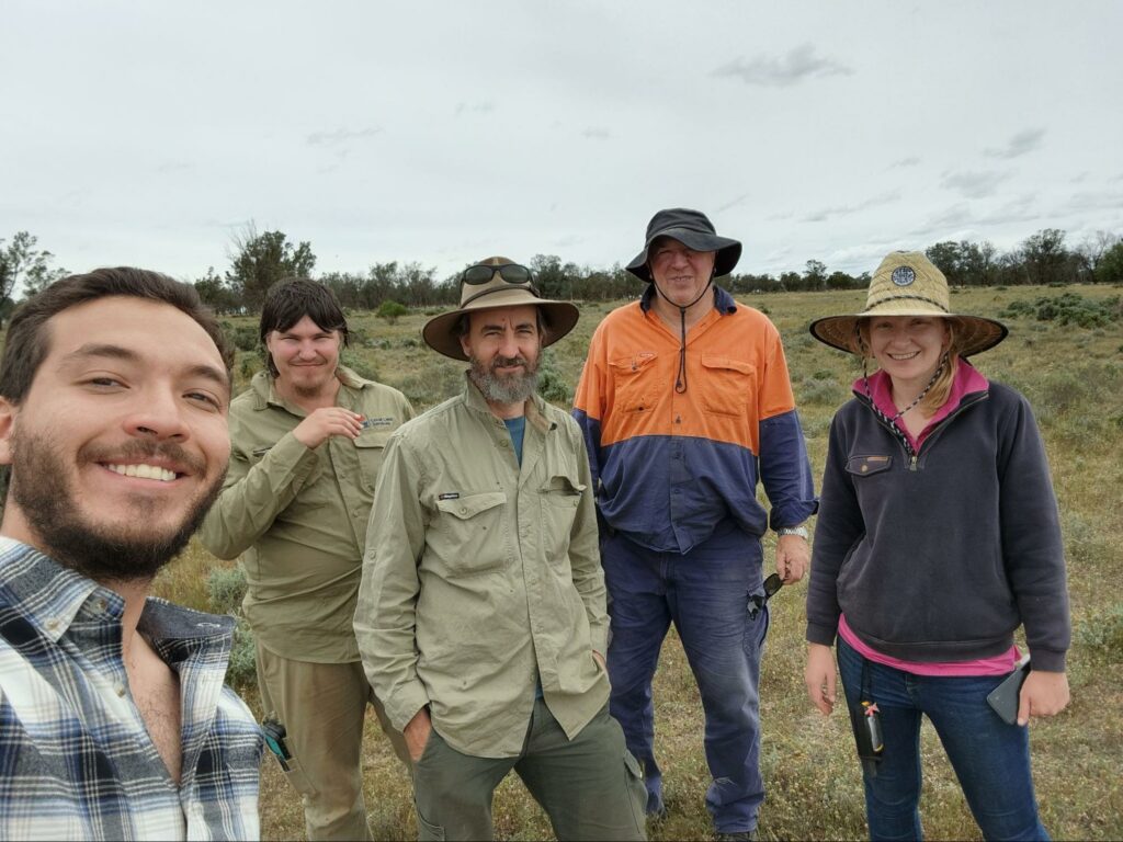
To learn more about what influences soil organic carbon in the Rangelands, NSW DPI, Australian National University (ANU) and CarbonLink undertook above and below ground assessments at seven properties, despite challenges, such as substantial rains and road closures lasting up to three months.
At each property, monitoring was concentrated in two 100 ha areas in different positions of the landscape.
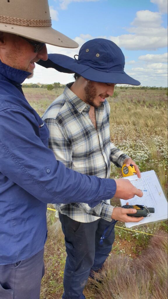
Above ground monitoring with NSW DPI and ANU
Sarah and Karl from NSW DPI, in partnership with Dr Craig Strong from ANU, used a range of methods to assess the ‘above ground’ function and health at each site.
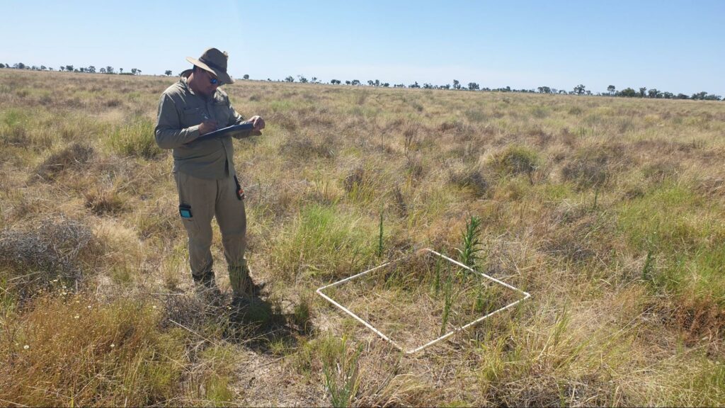
Karl used David Tongway and Norman Hindley’s Landscape Function Analysis to assess the sites on a spectrum of ‘accumulating to eroding’ resources, and to characterise the soil stability, water infiltration and nutrient cycling potential of sites.
Craig collected information to feed into a model of soil erodibility, including soil particle size, soil surface roughness and interpatch size.
Ground cover is one of the key metrics, and Karl describes why: ‘If you have a plant present at the soil surface, it can decrease wind erosion and capture dust and sediment, so you see the build up of soil and organic matter’. Cover is also directly related to increased water infiltration and soil moisture retention.
Beyond vegetation, the team recorded other important components
of cover such as plant litter, rocks, cryptogam (fungal and lichen soil crusts), woody material and dung – as these types of ground cover also slow water run-off and soil erosion, helping to retain organic matter and nutrients in the landscape.
‘When dry times come, and vegetation may dry up, some of these other things can help stabilise the soil. Getting and keeping water in the soil is key, and ground cover intercepts rain, to slow it down and allow it to infiltrate into the soil’, says Karl. Water infiltration tests were also undertaken at each site.
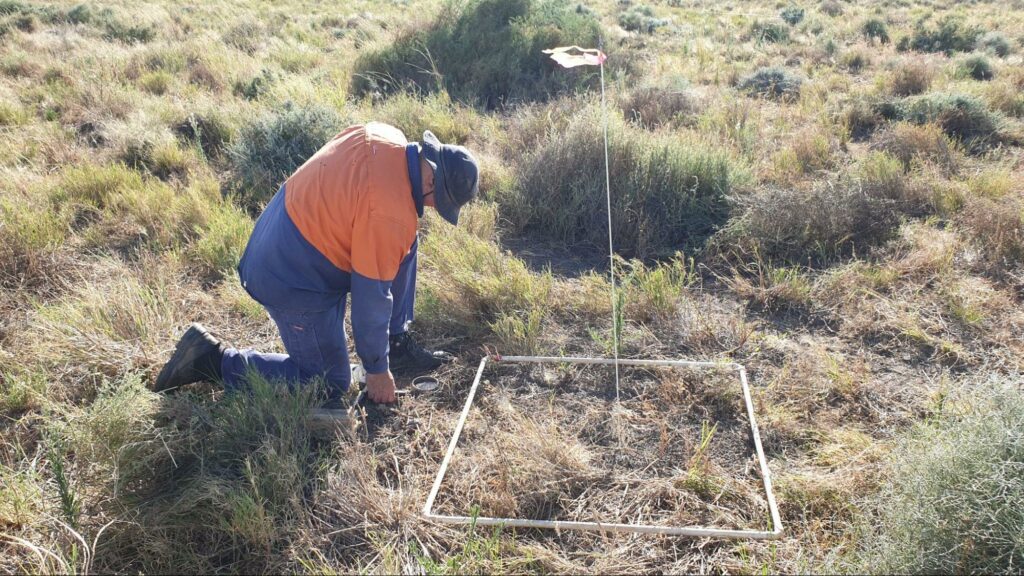
In meter by meter squares, or quadrants, directly above each core, Sarah recorded vegetation biomass, percent greeness, and composition as indicators of pasture condition and diversity, in addition to ground cover.
Ecologist Dr. Eren Turak also undertook fauna surveys across the 100ha areas, installed camera traps to monitor small animals and audio recorders to detect birds, as an indication of biodiversity in the landscapes.
Landscape function analysis


Below ground monitoring with CarbonLink
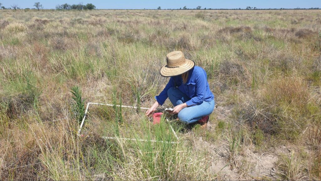
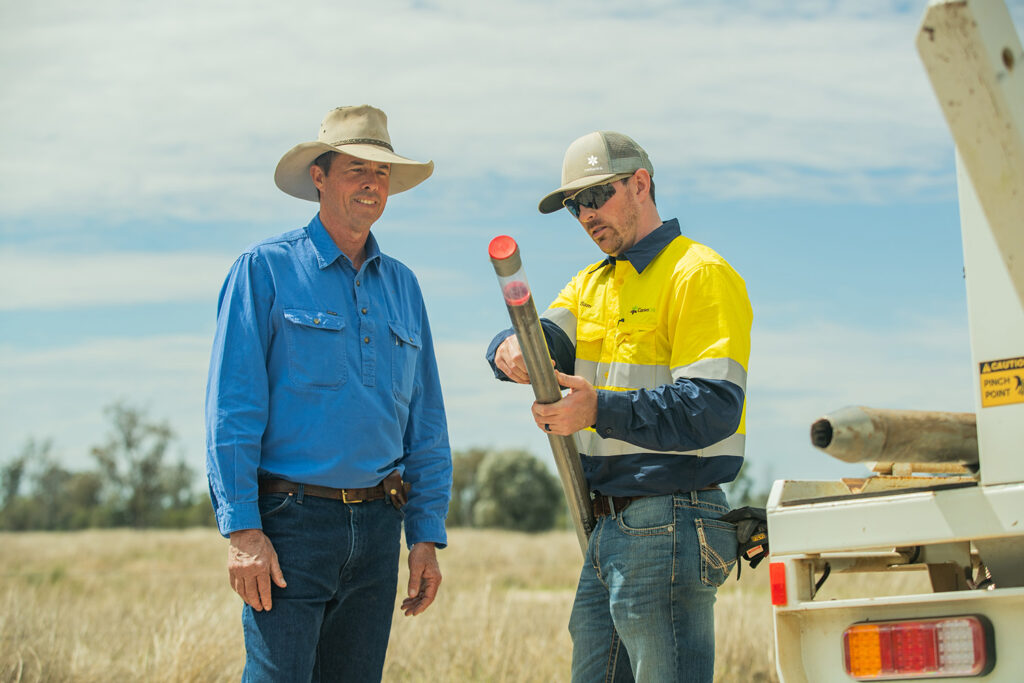
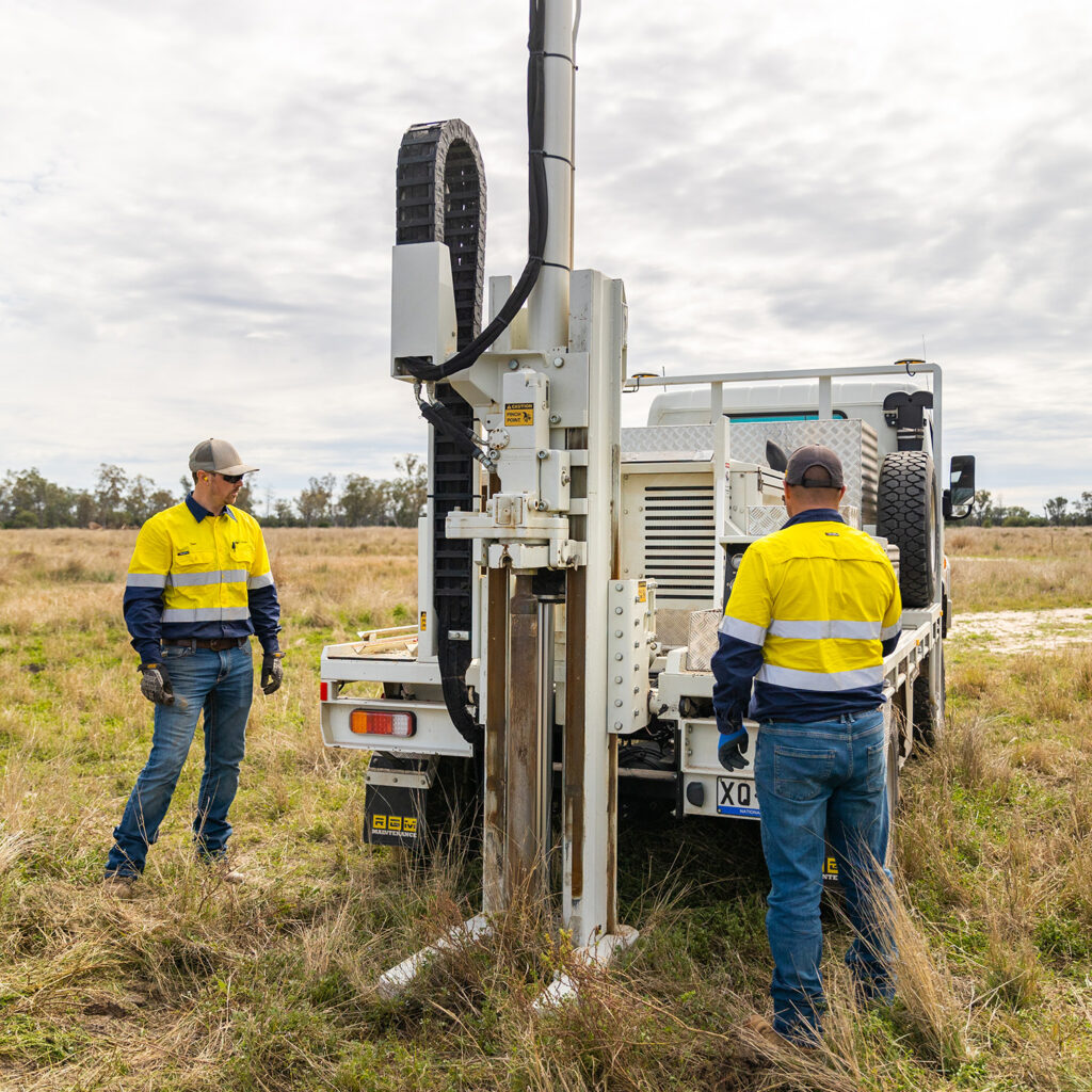
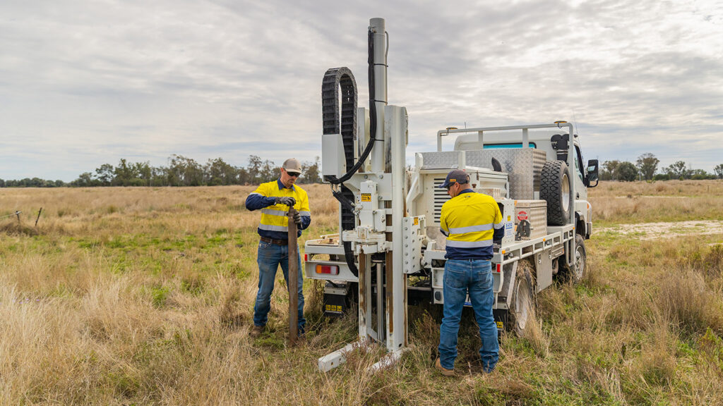
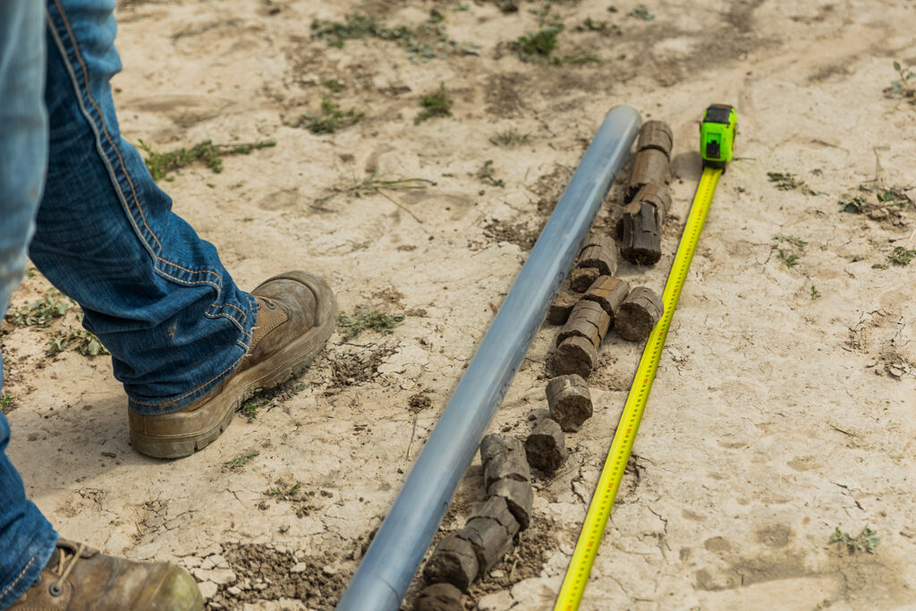
Within each area, 45 soil cores (arranged in 15 clusters of three) to 1 m depth were sampled, with measurements on above-ground properties taken directly over these core locations.
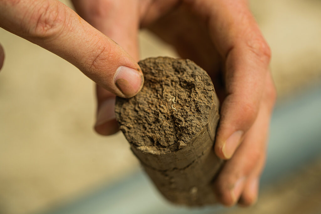
To explore the variation in soil carbon with soil depth, CarbonLink is using spectrometry to measure soil carbon.
As part of the project, they have collected 630 soil cores (90 cores at each of the seven properties). The meter-deep cores were transported in cold storage to a lab where soil bulk density and soil carbon were determined at 5 cm intervals along each core using spectrometry and laboratory measurements.
‘Monitoring soil carbon is very complex’, says Rob, ‘but we have observed that roughly half of the soil carbon can be below 30 cm, and the changes that happen in the 30-120 cm are more resilient to periods of drought and other adverse conditions than in the top 30 cms’. However, the NSW DPI team also cautions that carbon at this depth can not easily be changed by management.
Rob continues, ‘While most data looks at soil carbon in the top 10 cm, the soil carbon in this top layer can be susceptible to adverse conditions; with this project data we will be able to demonstrate the degree to which it is possible to store carbon at depth in places like the rangelands.’
While the spectrometry method used by CarbonLink is an approved method for soil carbon farming projects, the Rangelands Living Skin project is not a registered project. Rather, it is an inquiry into the current levels of soil carbon in the rangelands, and how soil carbon levels might change with adjustments to management practices.
Two of the producers involved in the Rangeland Living Skin project were previous Soils for Life case studies, and have been adjusting their practices for years. Another two of the producers have had soil carbon baseline measurements undertaken as part of a previous NSW DPI research study.
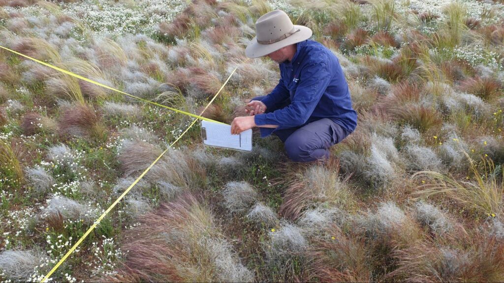
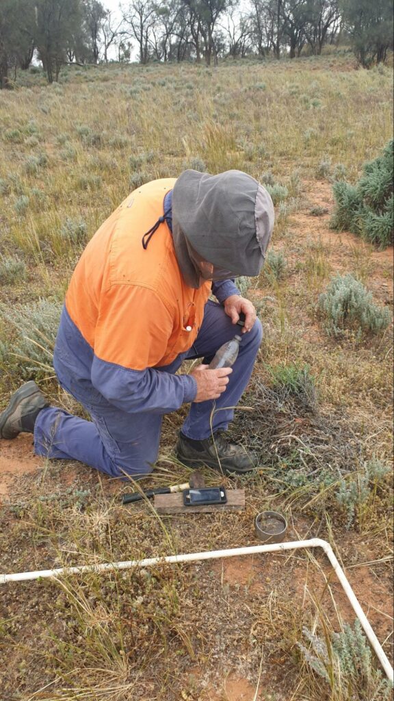
Taking soil cores
Next steps
Processing the soil samples and interpreting the data in conjunction with the above ground observations will take up to six months. The project team expects this holistic approach to analysis will provide a useful baseline of information. The results from the project could be revisited in the future to determine changes in soil carbon over time.
In the meantime, the project team will undertake satellite imagery analysis, as part of their ‘above ground observations’. Using historical remote sensing data, the team will assess the above ground total biomass and ground cover from the locations where the soil cores were collected
across a longer timeframe, and its relationship with soil carbon and grazing management.
Recognising that above ground biomass is influenced by seasonal patterns, and that soil carbon sequestration is a slow process, the team are keen to learn whether satellite imagery can be used to predict soil carbon from on-ground plant biomass measurements. If so, image analysis could become an efficient and affordable method of estimating soil carbon to support the necessary but more costly process of undertaking field work.
Bringing all the perspectives together
This monitoring is only part of the inquiry into the impacts of management changes in the Rangeland Living Skin project. The project will also look at other holistic indicators of change, including economic performance, and changes in knowledge, skills, and practices in relation to land management and livestock production.
Stay tuned for future articles on the results of the above and below ground monitoring of the Rangelands Living Skin project.
Keep in touch
For updates on the trial visit the Rangeland Living Skin webpage to sign up for the newsletter or upcoming webinars.
